In the face of the forces of nature, human beings always seem small and resilient. In the face of frequent geological disasters, such as landslides, debris flows, ground collapse, etc., how can we give early warning, reduce losses, and protect people's lives and property? The answer may lie in the humble but vital crack monitoring station.
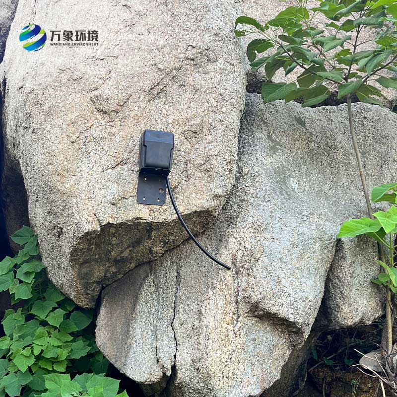
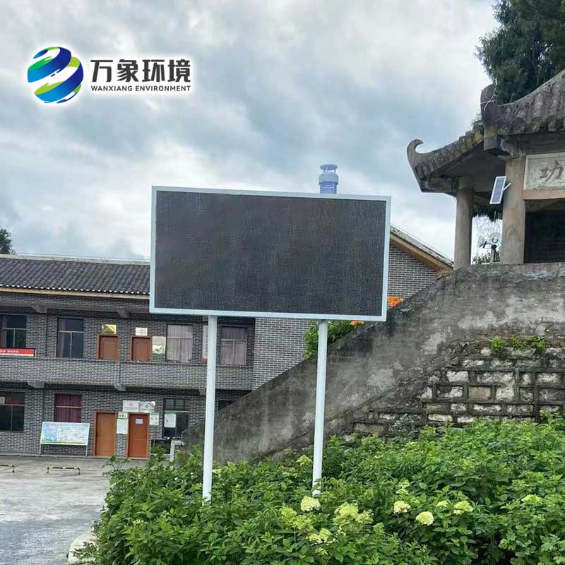
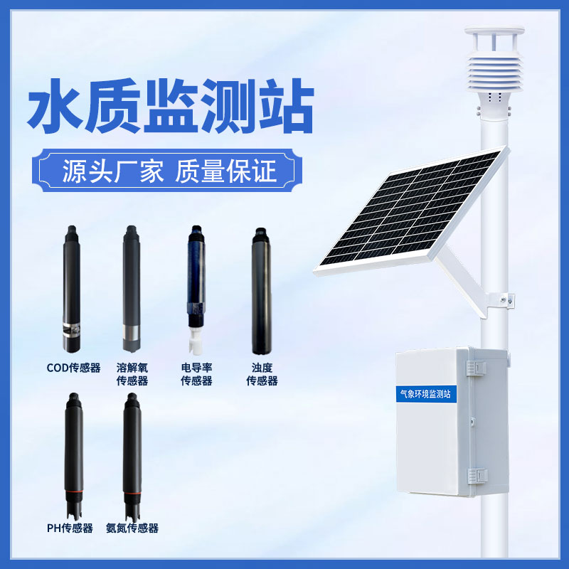
The WX-LF2 fracture monitoring station is a system that uses modern scientific and technological means to monitor and analyze the surface fractures of geological bodies in real time. It integrates advanced technologies such as the Internet of Things, big data and cloud computing to accurately capture subtle geological changes and provide reliable data support for geological disaster warning. These "sentinels" are distributed in areas prone to geological disasters and work 24 hours a day, just like the guardians of nature, silently guarding our safety.
The occurrence of geological disasters is often accompanied by the accumulation and release of internal stress in the geologic body, and the expansion of cracks is the direct manifestation of this process. The crack monitoring station can monitor the key parameters such as the length, width, depth and rate of change of the crack in real time through high-precision sensors. Once abnormal data is detected, the system will immediately start the early warning mechanism, and quickly convey the early warning information to relevant departments and residents in threatened areas through SMS, email, APP push and other ways, so as to win precious time for emergency evacuation and rescue.
Compared with the traditional manual inspection, the crack monitoring station has significant advantages. First of all, it realizes all-weather, automated monitoring, which greatly improves the efficiency and accuracy of monitoring. Secondly, through big data analysis, the system can identify the potential laws and trends of geological disasters, and provide data support for the optimization of the early warning model. More importantly, the crack monitoring station can cover a wider area and realize the comprehensive monitoring of hidden points of geological disasters, effectively making up for the gap that is difficult to be covered by manual inspection.

Article address:
http://www.qxhjjc.com/en/article/1205.html


 Home
Home phone
phone Product Overview
 Contact Us