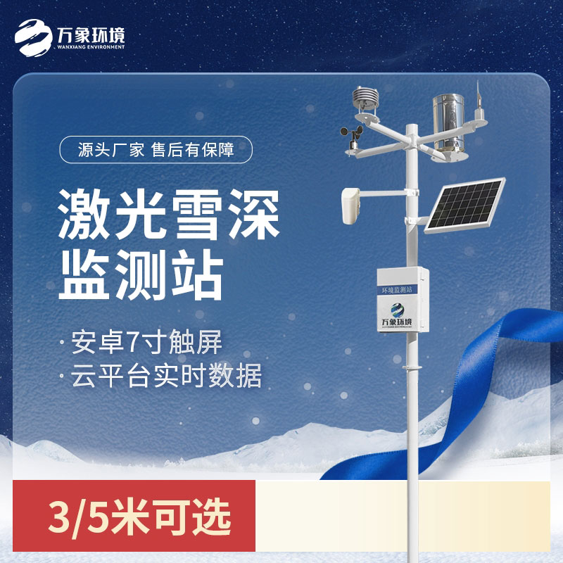
1. Laser Snow Depth Monitoring Station Product Introduction
Wanxiang Company launched the WX -XS2 laser snow depth monitoring station, which uses laser snow recognition and measurement technology to overcome the shortcomings of ultrasonic, electromagnetic wave, weight and other types of sensors that cannot recognize snow, thereby achieving extremely high detection accuracy. By monitoring the distance to the location, the thickness of the snow is obtained and the snowfall per unit time is analyzed. The equipment can be used as an independent automatic snow depth monitoring alarm system, and can also be networked to form a diversified network monitoring.
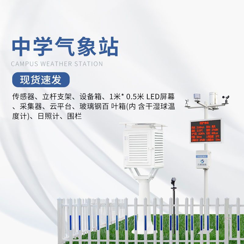
Application scope: Widely used in meteorological stations, port and terminal safety monitoring, road traffic safety monitoring, aviation monitoring, construction safety monitoring, agricultural production monitoring, hydrology and water conservancy and many other fields.
Measuring principle: The snow depth sensor uses the principle of phase laser rangefinder to measure the snow depth. Phase is the frequency of the radio band. Laser ranging uses the amplitude modulation of the laser beam and measures the phase delay caused by the modulated light going back and forth on the measuring line once. Then, according to the wavelength of the modulated light, the distance represented by this phase delay is converted. That is, the time required for the light to go back and forth on the measuring line is measured indirectly, so as to solve the snow depth.
2. Product Features
1. Low power collector: static power consumption is less than 50uA
2. Standard GPRS networking, support for extended Bluetooth and wired transmission
3. Android 7 -inch touch screen, version: 4.4.2 , quad-core Cortex ™ -A7 , 512M/4G
4. Support modbus485 sensor expansion
5. Solar charging management MPPT automatic power point tracking
6. Three-meter carbon steel bracket, two sections butt joint
7. SMS alarm: send SMS to the designated mobile phone after exceeding the limit
8. ABS material protective box, corrosion-resistant, anti-oxidation, waterproof grade IP66
3. System composition
Laser snow depth sensor, host, pole bracket, solar power supply system, cloud platform
4. Technical Parameters
1. Collector power supply interface: GX-12-3P plug, input voltage 5V , with RS232 output Json data format , collector power supply: DC5V ± 0.5V peak current 1A,
2. Sensor modbus , 485 interface: GX-12-4P plug, output power supply voltage 12V/1A, device configuration interface: GX-12-4P plug, input voltage 5V
3. Solar power supply, lead-acid battery, optional 30W 20AH/50W 40AH/100W 100AH. Charging controller: 150W , MPPT automatic power point tracking, efficiency increased by 20%
4. Data upload interval: 30s-65535s adjustable
5. 7- inch Android touch screen, screen size: 1024*600 RGB LCD
6. Sensor technical parameters
name | Measuring range | Resolution | Accuracy |
Snow depth | 0.05~3m | 1mm | ±1.0mm |
Wind speed | 0~30m/s | 0.01m/s | ±(0.1+0.03V)m/s |
wind direction | 0~360°(16 directions) | 1/16 | <3°(>1.0m/s) |
Air temperature | -40-80℃ | 0.1℃ | ±0.3℃(25℃) |
Air humidity | 0-100%RH | 0.10% | ±3%RH |
Atmospheric pressure | 30-110Kpa | 0.01Kpa | ±0.02Kpa (relative) |
rainfall | ≦4mm/min | 0.01mm | ±0.2mm |
illumination | 0-18.8W LUX | 1lux | 5% |
carbon dioxide | 500-5000PPM | 1PPM | ±50PPM±3% of reading |
Soil temperature | -40~80℃ | 0.1℃ | ±0.5℃ |
Soil moisture | 0-100% | 0.10% | 3% |
The whole machine has obtained the provincial third-party calibration certificate
The whole machine has obtained the China Energy Saving and Environmental Protection Product Certification
The whole machine has obtained the China Green Environmental Protection Product Certification
The manufacturer has a computer software registration certificate
The manufacturer is a 3A-level credit enterprise
The manufacturer is a five-star after-sales service advanced unit
The manufacturing company has ISO quality management system, environmental management system, and occupational health management system certification
5. Introduction to Cloud Platform
1. CS architecture software platform, supports direct observation via mobile phone and PC browser , no need to install additional software.
2. Support multiple accounts and multiple devices to log in
3. Support real-time data display and historical data display dashboard
4. Cloud servers and cloud data storage are stable and reliable, easy to expand, and load balanced.
5. Support SMS alarm and threshold setting
6. Support map display and view device information.
7. Support data curve analysis
8. Support data export in table format
9. Support data forwarding, HJ-212 protocol, TCP forwarding, http protocol, etc.
10. Support data post-processing function
11. Support external running of javascript scripts
Product address:
http://www.qxhjjc.com/en/xueshen/1161.html 


 Home
Home phone
phone Product Overview
 Contact Us